
Course Overview
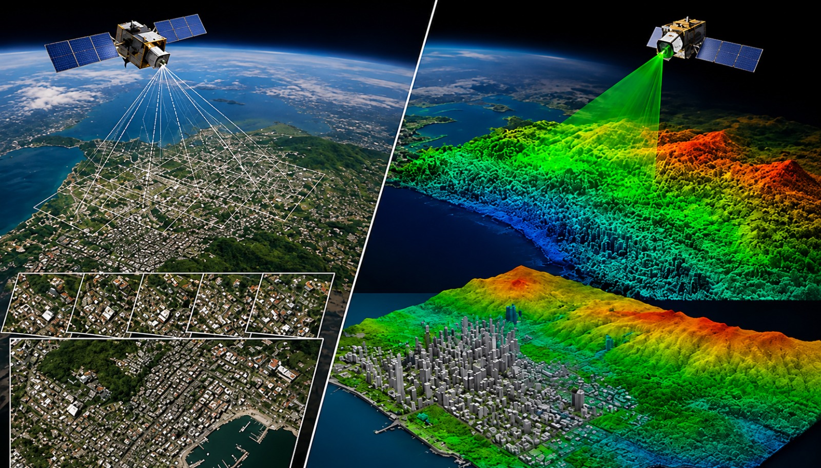
Master Geographic Information Systems (GIS) using ArcMap, one of the most trusted platforms for spatial analysis and mapping. This course combines GIS fundamentals with remote sensing, drone data processing, point cloud visualization, and geospatial analysis to prepare you for real engineering and planning projects. Learn through practical assignments, live projects, and industry-focused workflows.
Who can join
- Diploma, B.E. & B.Tech students in Civil, Geomatics, Architecture and related fields
- Surveying, Planning and Environmental Engineering professionals
- GIS, Mapping and Remote Sensing enthusiasts
- Working professionals looking to upskill in Geospatial Technology
Course Modules / Curriculum
Software / Tools Covered
Gain hands-on experience with industry-standard GIS and geospatial software used in surveying, infrastructure planning, environmental studies, and spatial analysis.
Learning Outcomes
- Create professional GIS maps and spatial databases using ArcMap
- Perform spatial analysis and geoprocessing for engineering projects
- Process satellite imagery and remote sensing datasets
- Generate and visualize point cloud data from drone surveys
- Publish interactive GIS and 3D point cloud projects
- Build a professional portfolio through industry-based capstone projects
Career Opportunities
Prepare for careers in GIS, surveying, remote sensing, and geospatial engineering.
Benefits & Certification
- Industry-Recognized Professional Certificate
- Hands-on Practical Training
- 3 Industry Capstone Projects
- Placement Assistance
- Interview & Resume Preparation
- Portfolio Development Support