
Course Overview
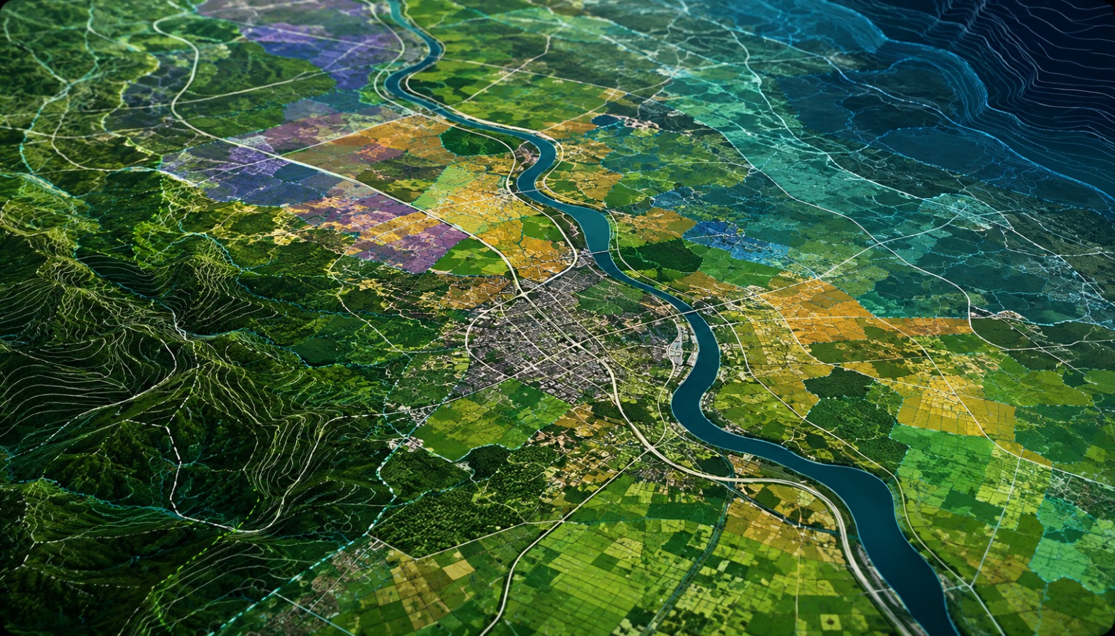
Our Master's in GIS with ArcMap equips you with practical skills in geospatial technologies used across engineering, infrastructure, environmental, and government projects. Learn mapping, spatial analysis, geodatabase creation, remote sensing, and terrain modeling through project-based training. Develop expertise in ArcMap, GIS workflows, and spatial data management while building the confidence to work on real-world geospatial projects.
Who can join
- Diploma, B.E. & B.Tech Students
- M.E. & M.Tech Students
- Civil, Geomatics & Environmental Engineers
- GIS Professionals & Survey Engineers
- Fresh Graduates & Working Professionals
Course Modules / Curriculum
Software / Tools Covered
Learn industry-standard GIS software used for mapping, spatial analysis, infrastructure planning, and geospatial data management.
Learning Outcomes
- Create professional GIS maps using ArcMap
- Perform spatial analysis and geoprocessing
- Manage geodatabases and GIS datasets
- Process remote sensing and point cloud data
- Build a portfolio through practical GIS projects
Career Opportunities
Prepare for careers in GIS like:
- GIS Analyst
- GIS Technician
- Cartographer
- Urban Planner
- Environmental Consultant
Benefits & Certification
- Industry-Recognized ArcMap GIS Certification
- Live GIS & Mapping Projects
- Placement Assistance & Career Guidance
- Resume, Portfolio & Interview Preparation